Urban Design Media: GIS
In this course, students learn how to use a Geographic Information System (GIS) to investigate spatial relationships, patterns and processes of cultural, biological, demographic, economic, social, environmental, health and other phenomena.
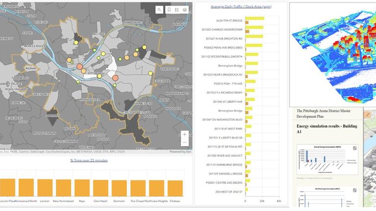
Image citations: Image Citations: Yu Sugimoto (GIS Dashboard), Kristen Kurland (3D LiDAR), Shalini Ramesh (GIS Energy Analysis)
A Geographic Information System (GIS) provides storage, retrieval and visualization of geographically referenced data, design and analysis of spatial information. GIS provides unique analytical tools to investigate spatial relationships, patterns and processes of cultural, biological, demographic, economic, social, environmental, health and other phenomena.
Subject areas covered in this course include geographic and geospatial concepts, map infrastructure, spatial data, map design, spatial data processing, proximity analysis, site suitability, macros and model building, raster GIS, spatial statistics, data mining and cluster analysis, and network analysis.
This course uses asynchronous video lectures for a deep understanding of GIS, supplemented by in-person or Zoom lectures and weekly office hours for personal interaction. Software tutorials are used to learn industry-leading tools from Esri Inc., including ArcGIS Pro, ArcGIS Online, ArcGIS Map Viewer, ArcGIS Story Maps and Dashboards. Subject areas span a broad array of disciplines, including sustainability, public policy, urban design and planning.